
Aitken Wood & Whitehough OEC map
Whitehough-Aitken-2013
Information
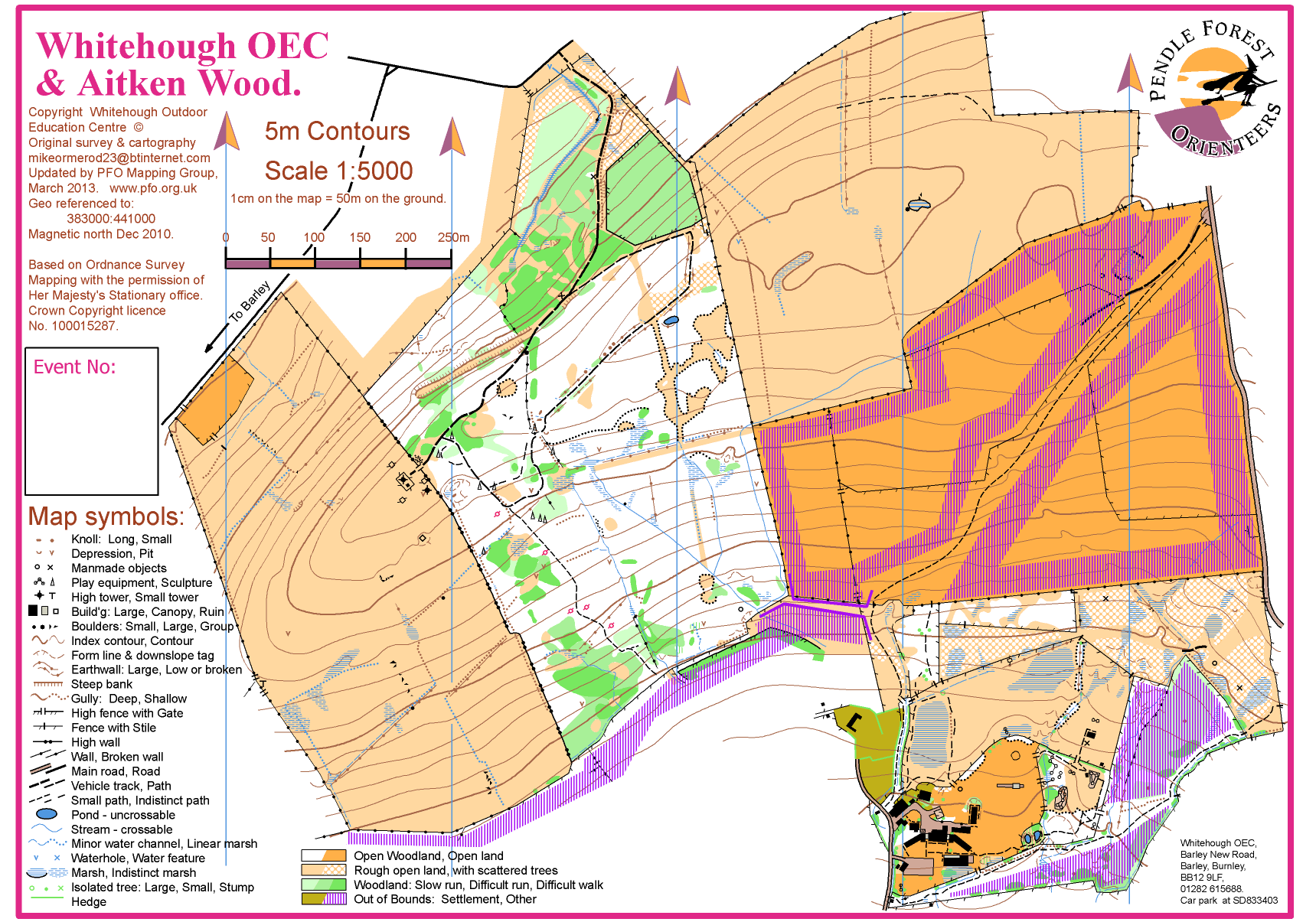
Aitken Woods and Whitehough Outdoor Education Centre
Aitken Wood and Whitehough are both mapped for orienteering. They are separated by less than 100m. PFO linked the two areas in 2013 on a single map. See below.
Aitken wood is mostly runnable forest, plus some moorland to east and west. It has a steep scarp to the north and a less steep slope to the south. There are a number of sculptures in the woodland, marked by special isosceles triangle symbols on the map.
Whitehough is a mix of rough open areas and young plantation. Together the whole area is very varied.