
Calf Hey map
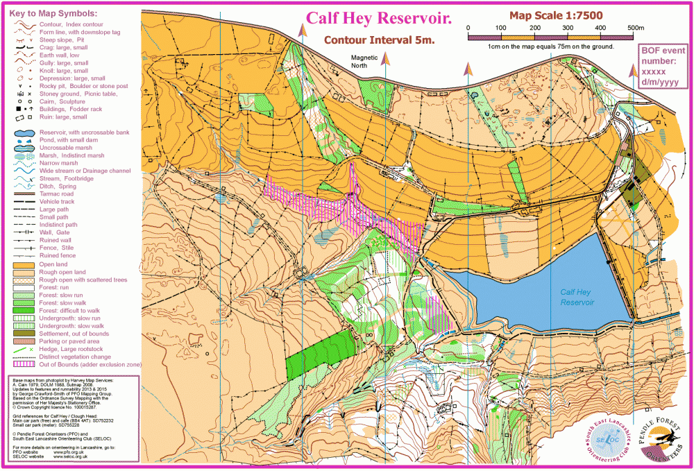
Calf_Hey_1-7500_2015-10-04
Information
Calf Hey is a typical Lancastrian water catchment area with a mix of grazing land, forest and rough open moorland.
Old ruins, tracks and quarry workings from a past industrial age add interesting features to the area. This gives rise to some fast running coupled with complex navigation approaching control sites. Steep-sided water catchment ravines are difficult to cross and compromise route choice.