
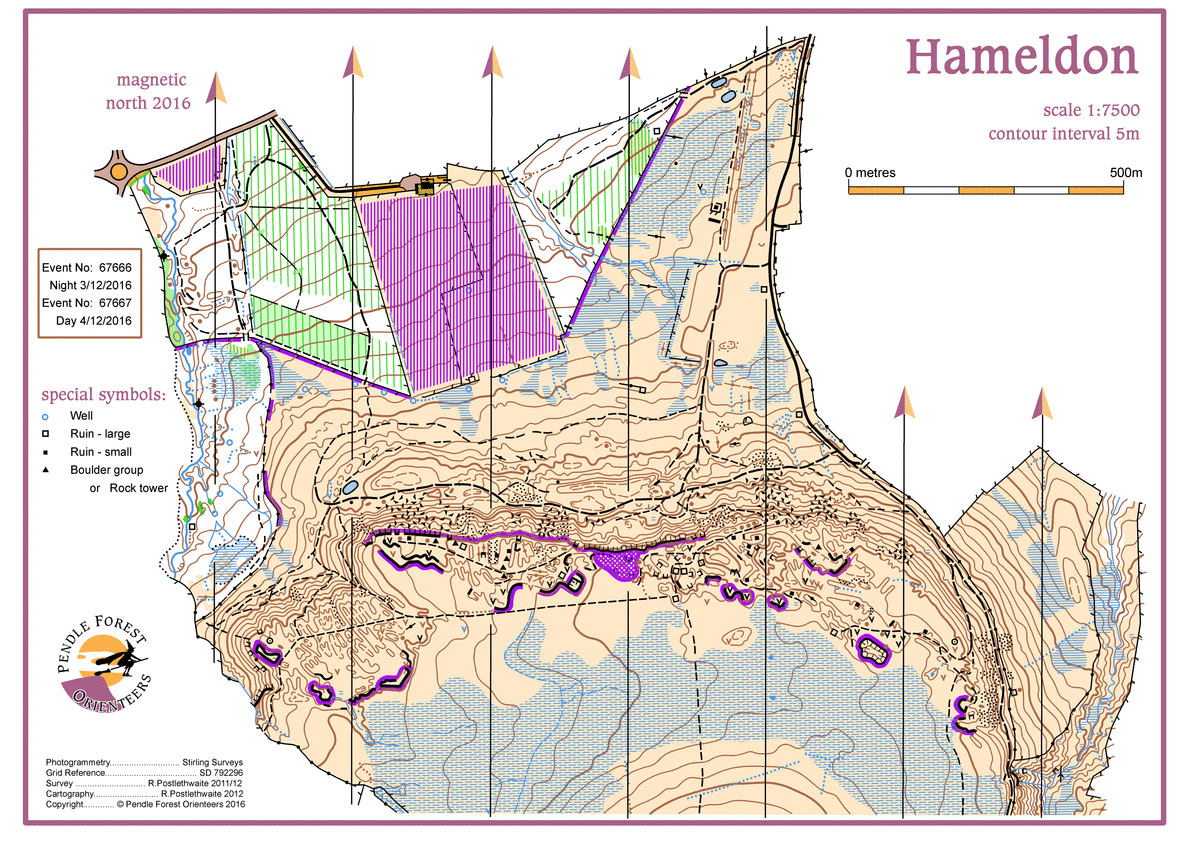
Hameldon Hill (North) map
Hameldon-Hills-7500-v10-A4
Information
Hameldon Hill & Woods (North)
Hameldon hill is mapped in it's entirety at 1:10000, but the north part, mapped at 1:7500, contains a good variety terrain.
of beech and conifer woodland, open moorland and contoured quarry levels.
The area comprises high open moorland with evidence of historic surface mining plus a highly contoured quarry levels. The lower slopes are gentler plus there is a beech wood and two coniferous plantations. The route between the plantations is via a public right of way though a farm yard.
DANGER: Competitors should be aware that there are some high crags and large deep holes in the quarry area only, which are outlined on the map with the uncrossable boundary symbol. These areas MUST be avoided.
Take care when exiting the quarry area as there are only 3 safe path decent routes!