
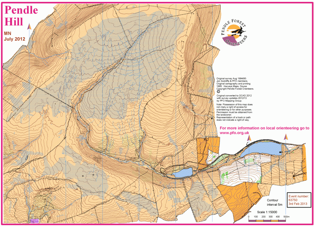
Pendle Hill East map
Pendle_Hill_East
Information
Pendle Hill East, including Ogden Clough, Fell Wood and Pendle Hill summit.
The map shown is the extract used for 3rd Feb 2013 event.
In 2012 the original 1995 map was updated into OCAD, bringing the map up to current competition standards. Not much of the open moorland has changed in the intervening years but map alterations have been made with the addition of new stock fences and associated crossing points, some additions to the path network and major changes to the runnability of Fell Wood. There are numerous sheep tracks, incidental paths and quadbike tracks which are not shown. Use them when you find them!
A major characteristic of the moor top is the peaty soil giving rise to deep and sinuous channels, with wet slow-running ground in between. Fine navigation hereabouts can be testing.
Both Ogden Clough and the summit plateau are bounded by extremely steep escarpments.